Collins Maps
product information
Condition: New,
UPC: 9780008369965,
Type: Calendar/Blank Book ,
description
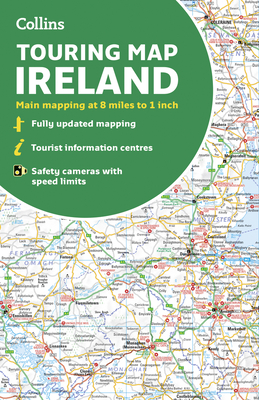
1Large full color map of the whole of Ireland showing the road network in detail, and with a special emphasis on places of tourist interest. This map has a handy touring scale of 7.5 miles to 1 inch (1:475,200). It has more than 20 categories of tourist information depicted on the map with clear, colourful red and yellow symbols. There is a full index to place names and places of interest. This map includes:
- All classified and most minor roads
- Railway network and ferry routes
- Viewpoints and sandy beaches
- Speed enforcement zones and safety camera locations
- Index to 20 categories of tourist information
- Includes castles, historic houses, gardens, beaches and golf courses
- All classified and most minor roads
- Railway network and ferry routes
- Viewpoints and sandy beaches
- Speed enforcement zones and safety camera locations
- Index to 20 categories of tourist information
- Includes castles, historic houses, gardens, beaches and golf courses
listens & views


reads


Joshua Tree National Park Map
by National Geographic Maps - Trails Illust
Calendar/Blank Book /Folded$11.59
member goods
add section on similar member itemsReturn Policy
All sales are final
Shipping
No special shipping considerations available.
Shipping fees determined at checkout.