Beaucher, Steven
product information
description
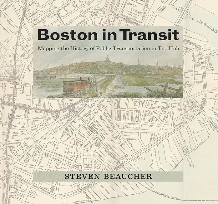
lic transit in one of America's most historic cities, from public ferry and horse-drawn carriage to the MBTA. A lively tour of public transportation in Boston over the years, Boston in Transit maps the complete history of the modes of transportation that have kept the city moving and expanding since its founding in 1630--from the simple ferry serving an English settlement to the expansive network of the Massachusetts Bay Transportation Authority, or MBTA. The story of public transit in Boston--once dubbed the Hub of the Universe--is a journey through the history of the American metropolis. With a remarkable collection of maps and architectural and engineering drawings at hand, Steven Beaucher launches his account from the landing where English colonists established that first ferry, carrying passengers between what is now Boston's North End and Charlestown--and sparing them what had been a two-day walk around Boston Harbor. In the 1700s, horse-drawn coaches appeared on the scene, connecting Boston and Cambridge, with the bigger, better Omnibus soon to follow. From horse-drawn coaches, horse-drawn railways evolved, making way for the electric streetcar networks that allowed the city's early suburbs to sprout--culminating in the multimodal, regional public transportation network in place in Boston today. With photographs, brochures, pamphlets, guidebooks, timetables, and tickets, Boston in Transit creates a complete picture of the everyday experience of public transportation through the centuries. At once a practical reference, local history, and travelogue, this book will be cherished by armchair tourists, day-trippers, and serious travelers alike.
member goods
No member items were found under this heading.
listens & views

JAZZ LITE 1: THE MALIBU ...
by JAZZ LITE 1: THE MALIBU COLLECTION / VARIOUS
COMPACT DISCout of stock
$8.99
Return Policy
All sales are final
Shipping
No special shipping considerations available.
Shipping fees determined at checkout.


