description
Mississippi has a volcano. True, it�s buried under 2,600 feet of sediment, but it was red hot and active roughly 79 to 69 million years ago, and evidence of its bulging remains are visible in the Jackson area.
Mississippi emerged along the edge of a massive tear that formed as tectonics tried to rip the continent asunder. The full rift was never realized, but like a crack in a foundation, everything built on top of it has been affected. The failed rift became a linear basin, stretching from Illinois to the Gulf of Mexico, and for millions upon millions of years the sea rose and fell in this embayment, leaving behind tens of thousands of feet of sediment. The Mighty Mississippi River, one of state�s youngest and most dynamic features, follows the rift�s contours today.
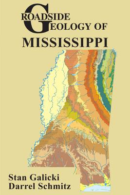
In Roadside Geology of Mississippi geoscientists Stan Galicki and Darrel Schmitz unearth the state�s deeply buried stories in 63 road logs that traverse the entire state, from the Gulf Coast to the state�s highest point (807 feet!) in the northeast corner. A healthy dose of full-color illustrations and photos complements the authors� illuminating geologic tales. With Roadside Geology of Mississippi in hand, you�ll understand the underpinnings of the Magnolia State as never before.
member goods
No member items were found under this heading.
Return Policy
All sales are final
Shipping
No special shipping considerations available.
Shipping fees determined at checkout.


