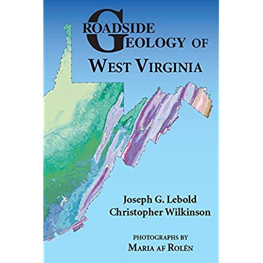
description
ders, formed by winding rivers, high ridges, and the pecularities of colonial land surveys, is a sedimentary record of the entire Paleozoic Era. Continents colliding along the eastern coast of North America built huge mountains that shed sediment into a shallow inland sea to the west. Thick wedges of sandstone, shale, and limestone piled up, all folded by later collisions to the east. In West Virginia's Valley and Ridge Province, rsistant, titled sandstones form long ridges that parallel the fold axes, while less folded rock forms the horizontal layers of the Appalachian Plateaus to the west. From Harpers Ferry at the edge of the Blue Ridge through the Allegheny Mountains west to the Ohio River valley, sedimentary rock thickens and thins, hiking valuable layers of coal and reservoirs of oil and gas. Authors Joseph Lebold and Christopher Wilkinson lead you along roads through the Mountain State, past roadcuts exposing contorted rock layers, coral reefs, and ancient red soils. Sidebars provide more details about iconic places such as the New River Gorge, Seneca Rocks, and Dolly Sods, and about unusual geologic features such as the riverless Teays Valley and the karst topography and caverns of the Big Levels.
member goods
No member items were found under this heading.
Return Policy
All sales are final
Shipping
No special shipping considerations available.
Shipping fees determined at checkout.


