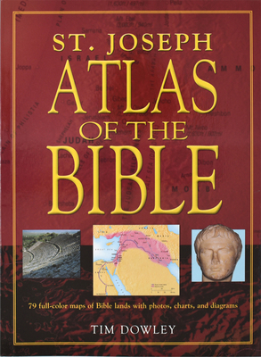
Dowley, Tim
St. Joseph Atlas of the Bible 978-0-89942-655-6
The St. Joseph Atlas of the Bible is an invaluable resource for use in schools, in Bible study groups, or by the individual inquirer. This solid introductory text, with its easy-to-follow format, offers readers the opportunity to discover valuable information contained in each of the Bible's 73 books.
Consider the plentiful features of this resource:
- clear and concise text
- general overview of every book in the Bible
- each chapter explores biblical cities and related scripture verses.
- Multitude on charts, maps, visual images that align with the biblical narrative
- visual accents abound such as maps, photographs, panoramic illustrations
- This is an invaluable resource for use in schools, in Bible study groups, or by the individual inquirer.
- Index of places and names
- Vibrant, action-packed, full-color illustrations
- Durable, sewn, binding
- Informative, engaging introductions for both Old and New Testaments
- Maps of the Biblical world
- Lands of the Bible section with photos, explanations, and Scriptural references for many holy sites
- the routes of the great travelers such as Abraham, Moses, Jesus, and Paul
- a visual perspective of major battles, migrations, and invasions
- striking full-color photographs with accompanying captions that provide context for noteworthy places and regions
- text that retells clearly the story of God's people from the call of Abraham to the spread of the early Christian Church
This atlas is an invaluable resource for use in schools, in Bible study groups, or by the individual inquirer.
We invite you to view additional Bible study resources here: https: //catholicbookpublishing.com/browse/bible-study-resources.
A Bible Atlas is a valuable resource for anyone studying Scripture, especially children, as it brings the biblical world to life through maps, illustrations, and historical insights. It enhances understanding, engagement, and appreciation of the Bible by placing its stories within their geographical and historical context.
A Bible Atlas also highlights the interconnectedness of biblical events with history and culture. Children and adults alike can grasp how geography influenced the journeys of figures like Abraham, Paul, and Jesus, and how regions shaped the spread of the Gospel. This understanding fosters a holistic view of the Bible as a cohesive narrative rooted in real-world settings. Additionally, using a Bible Atlas encourages critical thinking and exploration. Students can trace routes, compare ancient and modern maps, and ask questions about the cultural and natural environment of biblical times.
In summary, a Bible Atlas is an essential tool for enriching Bible study. It aids in understanding Scripture, sparks curiosity, and nurtures a deeper connection with God's Word by helping readers visualize and explore the historical and geographical backdrop of the biblical narrative.
member goods
notems store


Psychedelic Integration: Psychotherapy for Non-Ordinary ...
by Aixal�, Marc
Paperback /Paperback$20.21
listens & views

SERENADES 1 & 2 - ...
by BRAHMS / LONDON SYMPHONY ORCHESTRA / BONGARTZ
COMPACT DISCout of stock
$12.49


