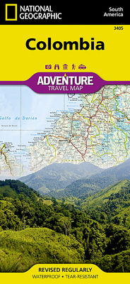
National Geographic Maps - Adventure
- Waterproof - Tear-Resistant - Travel Map
Let National Geographic's Colombia Adventure Map guide you as you explore the unique biodiversity, rich history and vibrant culture of this country which is the gateway to South America. Quickly find your destination with the aid of a user-friendly index of cities and towns. Then plan your route using the mapped road network, complete with distances and designations for major and secondary roads, including the Pan-American Highway, as well as tracks and unsurfaced roads for those seeking to travel off the beaten path. Other travel network features include airports, airfields, railroads, harbors and border crossings. In addition, hundreds of cultural, historical, ecological and recreational points of interest are pinpointed, such as UNESCO World Heritage Sites, protected areas, beaches, archeological sites, castles and areas for diving, fishing, surfing and paragliding.
The map's front side covers the country from northern borders with Venezuela and Panama, along with its Caribbean Sea coastline, through the coffee plantations in the Andes, down to the capital of Bogota, including the cities of Cartagena, Medellin and Pereira. While the reverse side covers the southern half of the country, through the cities of Cali and Popayan, to its Amazon region and southern borders with Peru, Ecuador and Brazil. The entire Pacific coastline is covered as well, along with Colombia's islands. With such an abundance of specialized content, along with its topographic features, this map is the perfect compliment to any guide book to the country.
Every Adventure Map is printed on durable synthetic paper, making them waterproof, tear-resistant and tough -- capable of withstanding the rigors of international travel.
- Map Scale = 1:1,525,000
- Sheet Size = 37.75" x 25.5"
- Folded Size = 4.25" x 9.25"
member goods
notems store

The Book of Symbols. Reflections ...
by (aras), Archive For Research in Archetyp
Hardcover /Hardcover$30.00


