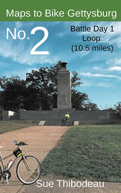
Learn about the Battle of Gettysburg on two wheels, and enjoy the thrill of outdoor, experiential learning.
Maps to Bike Gettysburg No. 2: Battle Day 1 Loop is for experienced and recreational cyclists who want to combine learning about the Battle of Gettysburg with a first-hand, visceral experience of the battlefield landscape. On a bike, historical touring is not only more personal, but one can gain a better appreciation for battlefield hills and swales and for distances covered.
This book provides color maps and turn-by-turn directions for a safe and educational, 10.5-mile park ride to visit the most famous landmarks of the July 1 battlefield, including McPherson's Ridge, Oak Hill, and Barlow's Knoll. Designed for a lightweight ride, this book complements Civil War Cycling's more detailed and comprehensive guidebook, Bicycling Gettysburg National Military Park.
Part of a new series of Gettysburg mini-books by Civil War Cycling, Maps to Bike Gettysburg No. 2 contains 15 detailed color maps with corresponding bicycle cue tables; 45 color photos; monument GPS points; and micro-histories for learning about the Battle of Gettysburg.
After a tour of East Cemetery Hill and McPherson's Ridge, you will ride north along Seminary Ridge to Oak Hill, and then down to Barlow's Knoll, through town, and end with a tour of the Confederate and Union battle lines around Culp's Hill. 574' cumulative gain. Plan for a 3-4 hour ride with frequent stops to appreciate the beautiful landscape and some of the park's 1,300+ monuments.
Like all Civil War Cycling routes through Gettysburg National Military Park, Route 2 provides health and safety tips; identifies one-way roads; and notes the location of bicycle racks, water, restrooms, and picnic areas.


