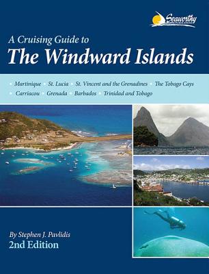
description
ands, 2nd ed. is the completely updated version of Steve Pavlidis' comprehensive Windward Islands guide that covers the stretch of islands from Martinique to Trinidad and Tobago known as the Windward Islands. Now in full-color with many new charts and full-color aerial photos of principal harbors. It contains 370 pages of text with 112 full-color sketch charts including GPS accurate data that is based on surveys personally conducted by the author. In addition it contains detailed piloting instructions, GPS waypoints, aerial photos, approaches and routes, anchorages, services, dive sites, history, basic information for cruising in the Caribbean, extensive appendices, index, bibliography and more. A Cruising Guide to the Windward Islands, 2nd ed. will greatly enhance your cruising experiences in this region by giving you valuable information based on actual experience and local knowledge. Features New Completely Updated Second Edition of this Pavlidis Guide! New Full-color Aerial Photos All Original Charts Based on Personal Surveys Conducted by the Author Extensive Navigational Instructions, and GPS Waypoints Coverage Area: Martinique St. Lucia Carriacou The Tobago Cays Grenada Trinidad Barbados Tobago St. Vincent and the Grenadines
member goods
No member items were found under this heading.
Return Policy
All sales are final
Shipping
No special shipping considerations available.
Shipping fees determined at checkout.


