Appalachian Long Distance Hikers Associa
product information
description
2
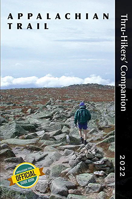
- Professional elevation profiles to show you dips and climbs of the day ahead
- Landmark-by-landmark tables for at-a-glance information by section
- Town maps showing food and lodging (and beer)
member goods
No member items were found under this heading.
listens & views

ULTIMATE CHRISTMAS ALBUM 5: WCBS ...
by ULTIMATE CHRISTMAS ALBUM 5: WCBS 101.1 / VARIOUS
COMPACT DISCout of stock
$19.75
Return Policy
All sales are final
Shipping
No special shipping considerations available.
Shipping fees determined at checkout.


